When you enter a location into Google or Apple Maps and follow directions to get there, you’re using wayfinding technology.
It’s this same technology that has the potential to make indoor locations more accessible and much easier to navigate.
We take a look at how this game-changing technology works and how it could open up a world of new possibilities for people with disability.
What is wayfinding technology?
Wayfinding technology is like a personal guide that uses technology to help you find your way around different places.
Instead of relying on old-school maps, directional signage or asking for directions, wayfinding uses clever tools to assist you to navigate various environments.
Google and Apple Maps are examples of wayfinding technology in practice but tend to operate more effectively outdoors due to their reliance on GPS. The wayfinding technology we’re exploring here is all about helping people to find their way around indoor locations such as in shopping centres, buildings or large event venues.
How does indoor wayfinding technology work?
Indoor wayfinding uses a variety of technology, including your smartphone, Wi-Fi, Bluetooth and beacons to pinpoint your location. It is sometimes called indoor mapping.
- Digital maps of the building or venue are loaded with information about the environment, including details like entries and exits, bathrooms, stairs, ramps, escalators and elevators.
- Beacons installed in the building or venue transmit signals to an app on your phone in real time so the system can identify the most accessible route to where you want to go. Wi-Fi or Bluetooth may need to be turned on for the app to work.
- Updates are in real time so the app knows where you are and can provide directions on the next action you need to take, such as turn left, or take the elevator to the next level.
Keep in mind that a venue or building must have wayfinding technology installed and be connected to a particular app before it can work in that location.
How wayfinding can personalise the experience of getting around.
Wayfinding technology makes indoor spaces easier to navigate for everyone, including:
- People with disability
- People who get overwhelmed in large spaces
- New employees or visitors
- Anyone who struggles to find their way in new places.
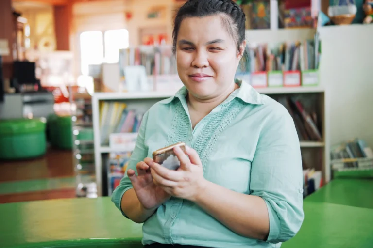
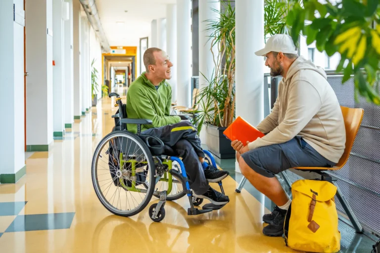
For people with disability, it can reduce reliance on external assistance and support greater independence.
Users can input their personal preferences, such as the need for wheelchair accessibility, quieter routes or even specific sensory requirements. The app tailors its guidance to each user’s comfort and accessibility needs.
Accessibility features can include:
- Detailed information about the indoor environment, including the locations of ramps, elevators, accessible restrooms and other essential features
- Journey customisation so you can choose paths that align with your specific accessibility requirements
- A choice between spoken directions, vibrations or visual prompts for people who are deaf or hard of hearing
- Highlighting barrier-free paths for wheelchair users
- High-contrast visual displays or the ability to use screen readers
- Integration with wearables such as smart watches to allow users to receive haptic feedback (vibrations) for directions
- Directions provided in different languages.
If there are unexpected obstacles or changes in the environment, the app can dynamically adjust the route to ensure a seamless journey.
Accessible wayfinding locations in Australia.
Leading the charge for indoor wayfinding in Australia is start-up BindiMaps, which has recently been installed at Sunshine Coast Airport in Queensland, the first airport in Australia to use the technology.
“We are excited to partner with Sunshine Coast Airport to help its passengers, staff, and visitors precisely navigate the entire airport with ease and accuracy – especially those with a vision impairment or disability,” said BindiMaps co-founder and CEO Anna Wright.
“BindiMaps functions a bit like Google Maps, but with 10 to 20 times greater accuracy than the Google satellites and GPS, which can only pinpoint location to around 20 metres compared to 1 to 2 metres indoors for BindiMaps.”
Other key locations and events that have introduced wayfinding technology include:
- Newcastle City Hall, Library, Civic Theatre and Museum
- St Vincent’s Hospital, Sydney
- Department of Communities and Justice, Parramatta
- Sydney and Sydney Eye Hospital
- National Library of Australia, Canberra
- Melbourne Park
- Melbourne Sports and Aquatic Centre
- Royal Society for the Blind office, Adelaide
- The Australian Open
- Formula 1 Grand Prix, Moto GP
- Ability Fest
- Impact Institute Disability Expos.
When will indoor wayfinding technology become the norm?
While the technology has been available for a decade or more, recent innovation and greater awareness of the need to make public places more accessible are bringing it to more locations.
In the words of BindiMaps co-founder and CEO Anna Wright, “We say to building owners, you already provide lights, signage, Braille and ramps, and this is just another level of customer service that you provide’.
Find your way with Leap in!
At Leap in! plan management, we know the NDIS. As an NDIS registered plan manager, we can help you navigate the NDIS with confidence, armed with the knowledge you need to get the most out of your NDIS plan.
If you’d like to find out more about the benefits of Leap in! plan management call our friendly crew on 1300 05 78 78 or email us at [email protected].